Each one of us should speak of his roads, his cross-roads, his roadside benches; each one of us should make a surveyor’s map of his lost fields and meadows. – Gaston Bachelard
Maps serve many purposes and help us find our way when lost. We use them to locate where we are, where we want to go, and the possible routes we can take to get from point A to point B and anywhere in between.
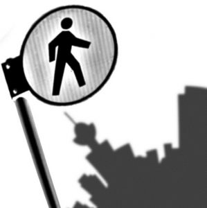
Through our daily activities and routines we construct an assortment of mental maps, an exercise best experienced and more detailed when walking. These include routes to school or work, paths to a friend’s house, a favourite space to walk or place to pause.
When we move away from conventional maps used by everyone, our maps become much more interesting and personalized. Ask 5 people to draw a map of a neighbourhood and everyone will give you something different.
By engaging people in memory mapping exercises, Pedestrian City can serve as a public engagement tool and a way for people to contribute to their city’s collective memory.
Pedestrian City encourages people to create memory maps as a way to make connections between the places they go and interactions they experience in a city. This helps them to connect the things they’ve noticed but maybe never put together in the same mental space, highlighting both celebrated and contested spaces. Memory maps can be used as a tool to contextualize neighbourhoods through the exploration of spatial memories and associations, and how these relate to how we choose our routes through the city.
